Jean Janvier – L’Amérique Septentrionale – Sea of the West Map
L’Amérique Septentrionale divisée en ses principaux États. Par le Sr. Janvier, Géographe. À Paris, Chez Lattré Graveur, rue St. Jacques

L’Amérique Septentrionale divisée en ses principaux États. Par le Sr. Janvier, Géographe. À Paris, Chez Lattré Graveur, rue St. Jacques
1736 Homann Heirs map of the Americas with vivid hand color, colonial boundaries, and decorative cartouche of allegorical New World figures
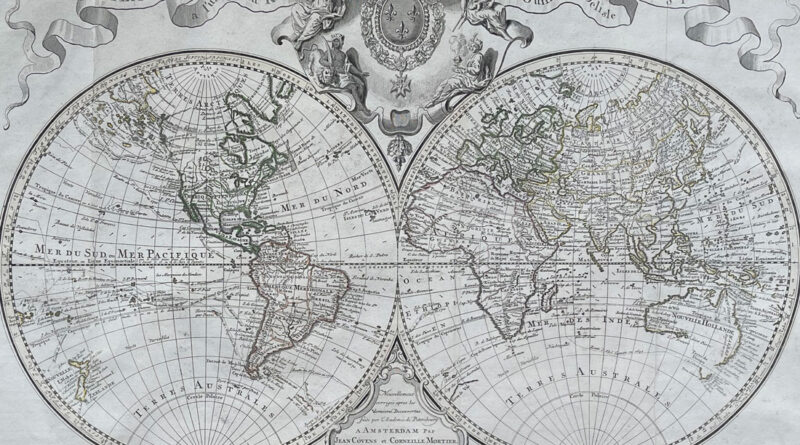
The Amsterdam edition of the 1725 World Map by Guillaume Delisle published by Covens and Mortier some years after Delisle’s
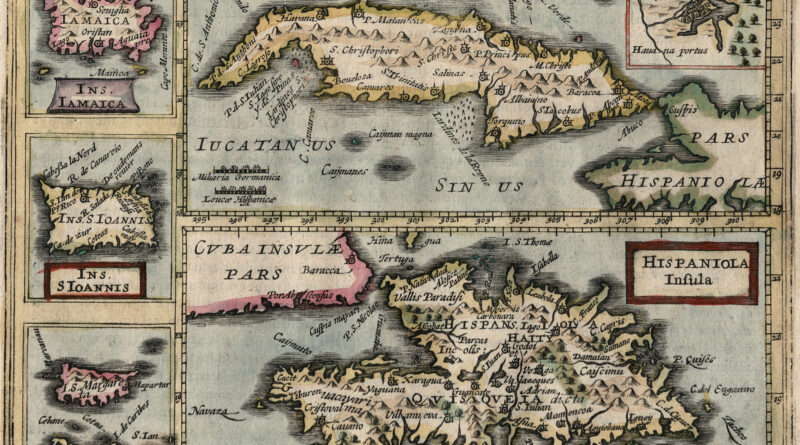
Rare and unique antique map of the Caribbean islands including Cuba, Haiti, Puerto Rico, the Dominican Republic, Margarita Island and Jamaica from the Jan Jansson edition of Mercator’s Atlas Minor. The map includes an usual publishing error – it was accidentally titled as “Island of Ceylon.”
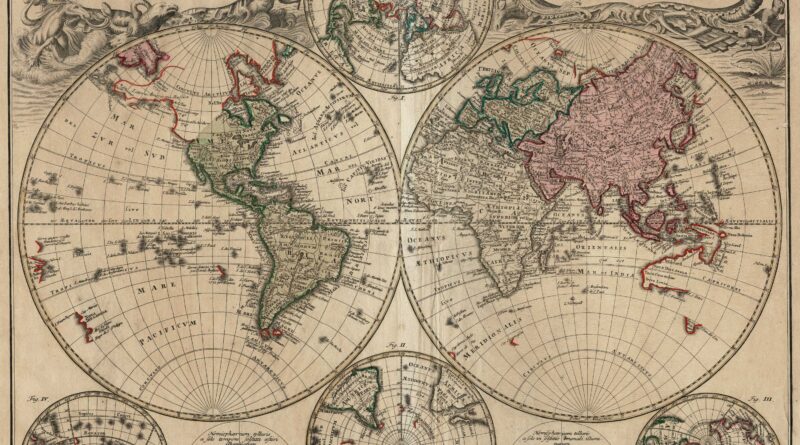
Planiglobii Terrestris mappa universalis … / Mappe-Monde qui Represente les deux hemispheres…. Nuremberg: Homann’s Heirs, 1746. A Double Hemisphere world map