Homann’s Heirs – Planiglobe Terrestris Mappe Monde (1746)
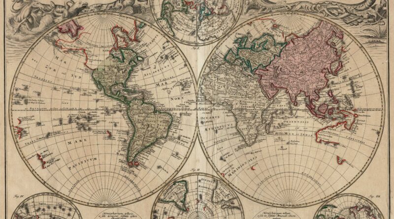
Planiglobii Terrestris mappa universalis … / Mappe-Monde qui Represente les deux hemispheres…. Nuremberg: Homann’s Heirs, 1746.
A Double Hemisphere world map – in the center the two hemispheres of the north and south poles. Two diagrams depict the earth as it would be seen from space. North America is still uncharted above California and Hudson Bay is open-ended in the NW corner. 4 inset maps of the polar projections
Includes incomplete Australia & New Zealand and an imaginary North west coast of America, with California shown as a long Peninsula. Attractive cartouches with seamonsters, tritons, and cornucopias.
Dimensions: 53.5 x 64
Condition: As shown. Sheet lightly oned, some spotting and creasing. Nothing that distracts from the overall beauty of the map.


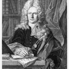
The famous German 18th Century cartographer Johann Baptist Homann founded a mapmaking firm in Nuremberg in 1702. Upon his death in 1724, it passed to his son Johann Christoph (1703-1730). and later was managed by Johann Michael Franz and Johann Georg Ebersberger under the name Homann Heirs (Homann Erben).


