Gerard van Keulen – Antique Map of Indonesia
Van Keulen’s 18th-c. map of East Java, Madura & Bali from the Dutch East India Company era, issued as one half of a two-sheet chart, with panorama & nautical detail.

Van Keulen’s 18th-c. map of East Java, Madura & Bali from the Dutch East India Company era, issued as one half of a two-sheet chart, with panorama & nautical detail.
Title of map (original language):Asiae Recensissima Delineatio, Qua Status et Imperia Totius Orientis una cum Orientalibus Indiis exhibenturAuctore Io. Bapt.
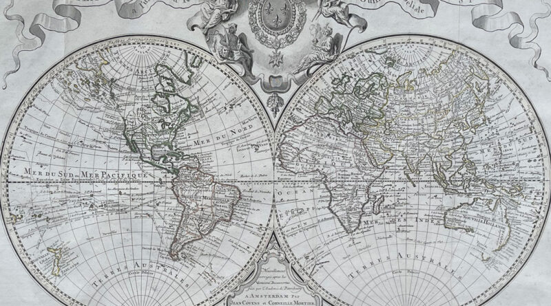
The Amsterdam edition of the 1725 World Map by Guillaume Delisle published by Covens and Mortier some years after Delisle’s
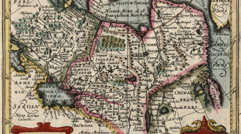
Antique Map of “Tatary” – Central and North Asia – from the Jansson Mercator Atlas Minor TATARIA – Copperplate engraving