Jansson / Mercator Atlas Minor – Map of Northern Ireland
1620 Map of Northern Ireland – Ultonia Conatia, et Media Copperplate engraving by Peter Kaerius (P.Van Den Keere, 1571-1646). Beautiful

1620 Map of Northern Ireland – Ultonia Conatia, et Media Copperplate engraving by Peter Kaerius (P.Van Den Keere, 1571-1646). Beautiful
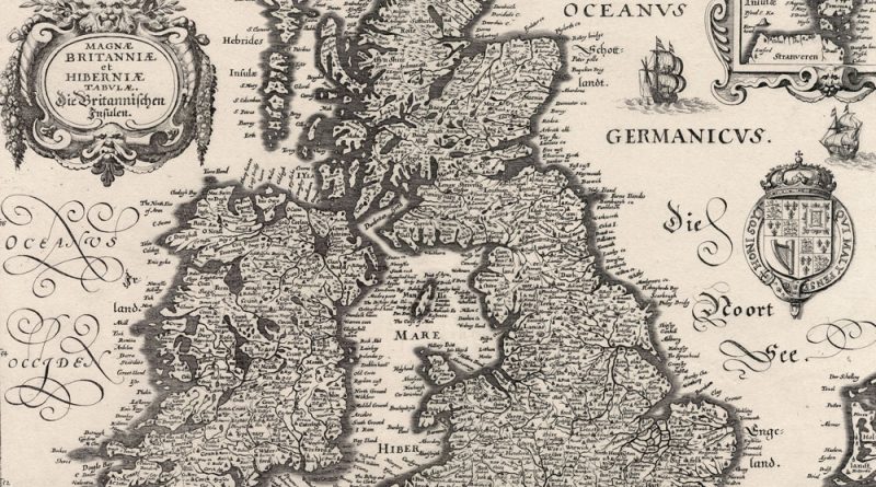
Magnae Britaniae et Hibernia – Magnae Britanniae et Hibernia 1630 Merian Map of British Isles Decorative map of the British
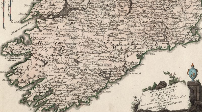
Das Koenigreich Ireland Provinz Mounster, Nro 80 Beautifully hand-colored antique map of Ireland by Joseph von Reilly. Munster, Old Irish
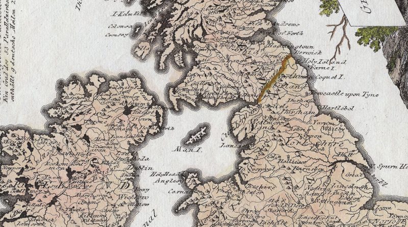
General Karte von Grossbritannien und Ireland Nro 78 Beautifully handcolored antique map by Joseph von Reilly showing the British Isles.