Hubert Jaillot 1705 Map of France, Switzerland and Italy – Les Estats de Savoye et de Piemont
Les Estats De Savoye Et De Piemont Presente A Monseigneur Le Duc De Bourgogne; Status Sabaudiae Ducis Accuratissime Divisi, ad

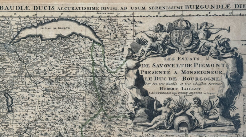
Les Estats De Savoye Et De Piemont Presente A Monseigneur Le Duc De Bourgogne; Status Sabaudiae Ducis Accuratissime Divisi, ad
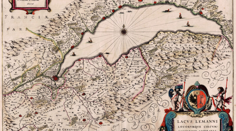
Lake Geneva 1638 by Jan Jansson based on the work of Jacques Goulart, a Swiss cartographer born in Geneva, who
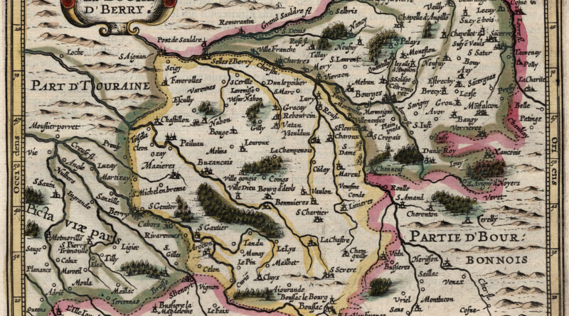
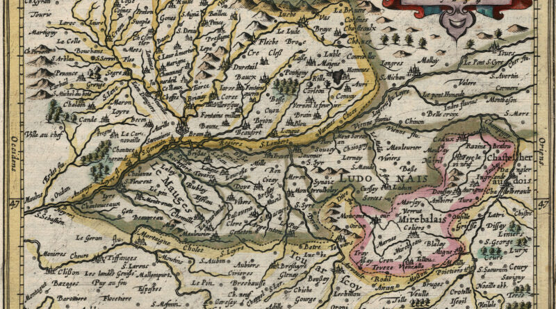
Le Duche d’Berry – Le duché de Berry – Antique map from the Jansson / Mercator Atlas Minor showing the area around the city of Bourges.
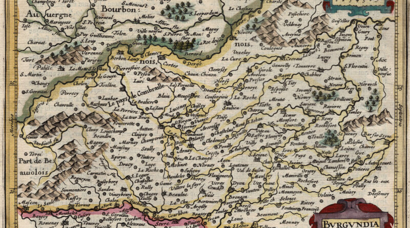
Antique map of Burgundy including Dijon, Beaune, Vezalay, Autun and many other cities of the famous wine regions.
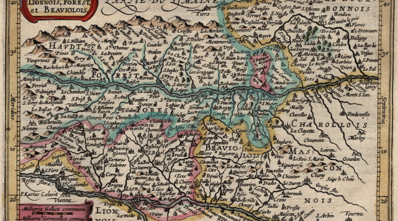
Antique map from the Jansson / Mercator Atlas Minor showing the regions of Beaujolais and Charolais.
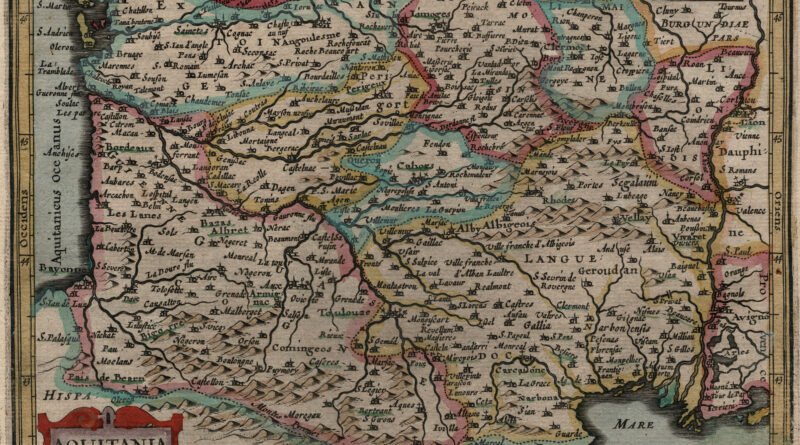
Antique map from the Jansson / Mercator Atlas Minor showing area of France formerly known as Aquitania or the Aquitaine. The area includes the cities of Bordeaux, Pau, Merignac, Pessac, Bayonne, Perigueux and much more.
Antique map of the region around Angers France from the Jansson Mercator Atlas Minor.
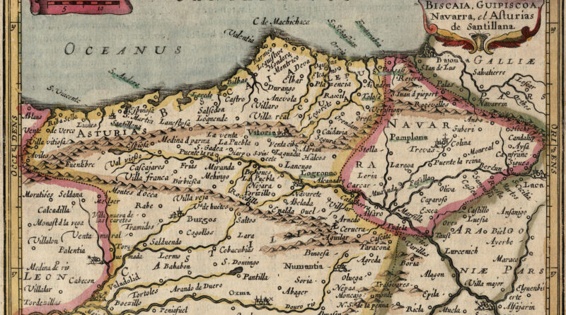
Biscay – Antique Map from Jansson Mercator Atlas Minor Copperplate engraving of the Northern Atlantic coast of Spain from Atlas
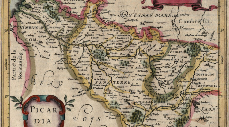
Elegant small antique map of Picardy / Picardie / Picardia – modern day Hauts-de-France – from the 17th Century Jansson Mercator Atlas Minor.