Circa 1800 Map of Scotland by Joseph von Reilly
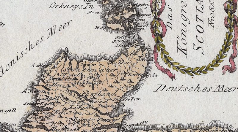
Das Koenigreich Scotland Nr 86 Circa 1800 map of Scotland with wonderful detail and hand coloring.

Das Koenigreich Scotland Nr 86 Circa 1800 map of Scotland with wonderful detail and hand coloring.
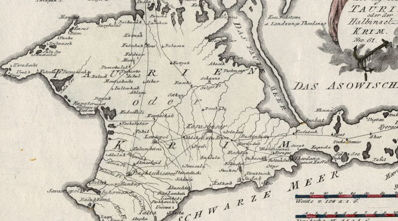
Spezial Karte von dem Koenigreich Taurien oder der Halbinsel Krim Nro 61. Elegant antique map of the Crimean Peninsula by
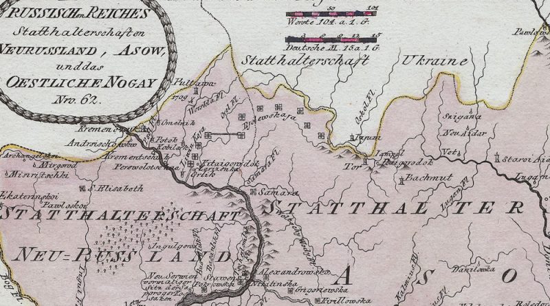
Title: Des Reussischen Reiches Statthaltenschaft en Neurussland, Asow, und das Oestliche Nogay, Nro 62. Circa 1800 antique map by Joseph
Gabriel Bodenehr – Bienna Biel. Handcolored 18th Century City View of Biel / Bienne from Europens Macht und Pracht. Title:
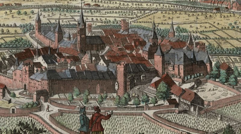
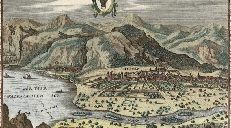
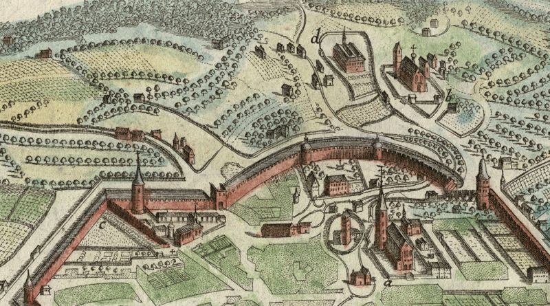
ALDORF 0 Handcolored 18th Century City View by Gabriel Bodenehr from Europens Pracht und Macht. Augsburg, circa 1750. Altdorf, der
Zug – Handcolored 18th Century City View by Gabriel Bodenehr Gabriel Bodenehr [1673-1765] was born into a major publishing and
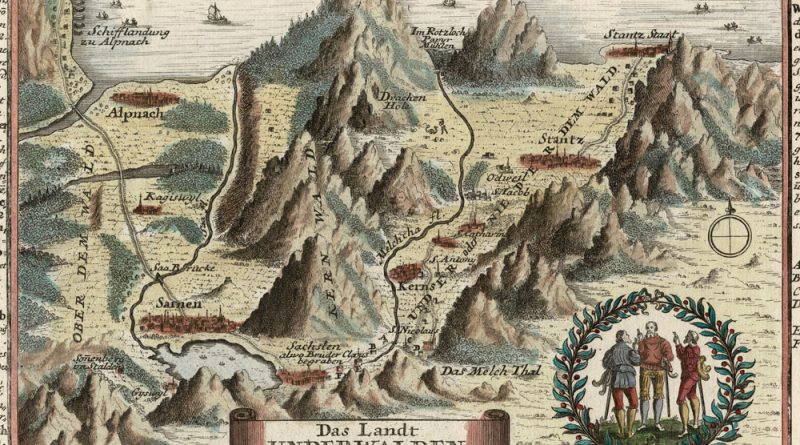
Unterwalden – Handcolored 18th Century City View by Gabriel Bodenehr Gabriel Bodenehr [1673-1765] was born into a major publishing and
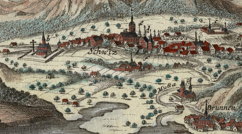
Schweitz – Handcolored 18th Century City View by Gabriel Bodenehr Gabriel Bodenehr [1673-1765] was born into a major publishing and
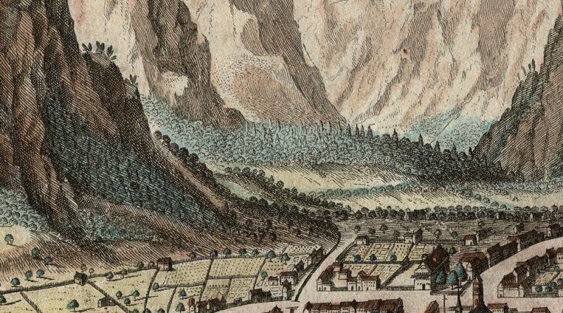
Gabriel Bodenehr [1673-1765] was born into a major publishing and mapmaking family in Augsberg. Handcolored Copperplate Engraving From: Bodenehr G.
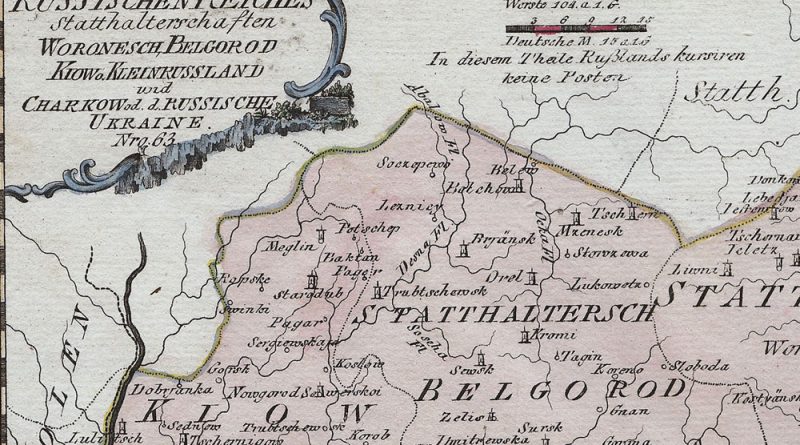
Des Russischen Reiches Statthalterschaften Woronesch Belgorod, Kiow, Kleinrussland und Charkow od. d. Russische Ukraine No. 63 Early 19th Century map
Map Maker: Franz Johann Joseph von Reilly (1766 – 1820) From: “Schauplatz der fünf Theile der Welt” Country / Region:
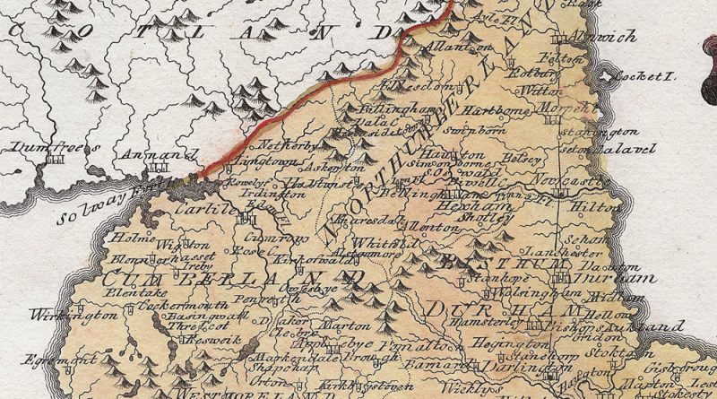
Title: Königreichs England nördlicher Theil, oder York Shire, das Bisthum Durham, Northumberland, Cumberland, Westmoreland, und Lancashire by Franz Johann Joseph