
Circa 1800 Map of Trentino and Southern Tirol by Joseph von Reilly
Herzogthums Schlesien Fuerstenthuemer Schweidnitz u. Muensterberg mit dem preussischen Theil des Fuerstenthums Neyss
Circa 1800 map of the Schlesien or Silesia including areas in modern day Poland and the city of Świdnica

Publisher: Reilly, Vienna
Dimensions: Most maps from this work measure 35 x 27.5 cm
In the late 18th Century, cartographer Franz Johann Joseph von Reilly embarked on a project to publish a multi-volume atlas of the entire world entitled Schauplatz der fünf Theile der Welt (published in several editions between zwischen 1789 und 1806). Over 800 maps of Europe were created, however the Napoleonic Wars proved to be an obstacle to completing the third part of the atlas, which was to have been dedicated to the other regions of the world. Von Reilly’s maps were sought after for their accuracy and detail.
In addition to being a mapmaker, Joseph von Reilly was was also an art dealer, author and publisher. He was born in 1766, the son of court master John Reilly, and died in 1820 in Vienna. His other major work was: Grosser Deutscher Atlas
These maps have a distinctive format, somewhat smaller than most maps of the period. Most measure 35 x 27.5 cm.
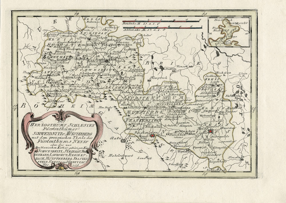
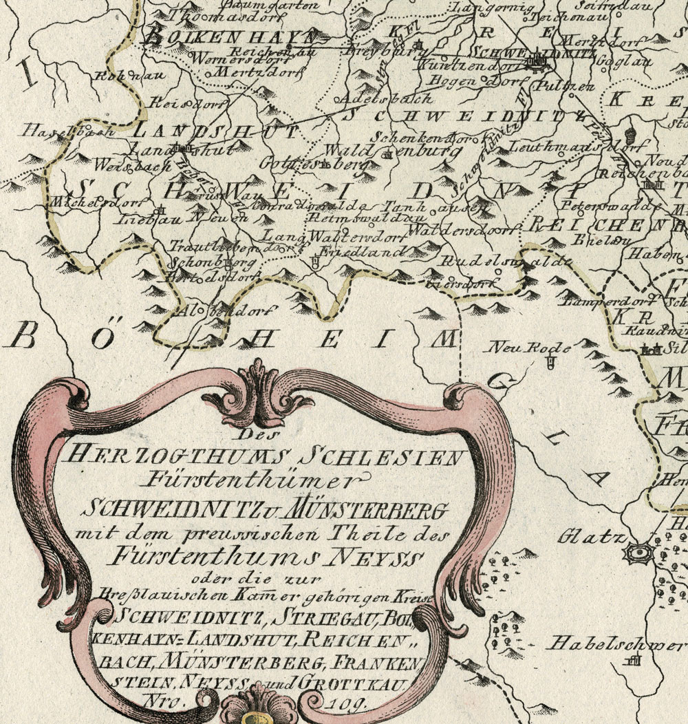
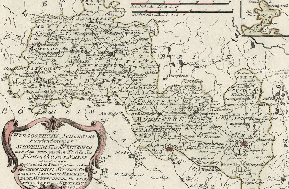
Herzogthums Schlesien Fuerstenthuemer Schweidnitz u. Muensterberg mit dem preussischen Theil des Fuerstenthums Neyss