Johann Baptist Homann, Regnum Scotiae in suas Partes
Homann’s c.1710 map of Scotland with Hebrides, Orkneys & Shetlands, detailed shire divisions and ornate allegorical cartouche

Homann’s c.1710 map of Scotland with Hebrides, Orkneys & Shetlands, detailed shire divisions and ornate allegorical cartouche
Early 18th-century Homann map of England & Wales, richly engraved with counties, Anglo-Saxon kingdoms, and allegorical cartouches.
Beautiful hand colored 1628 antique map of Scotland from the Jansson Mercator Atlas Minor.
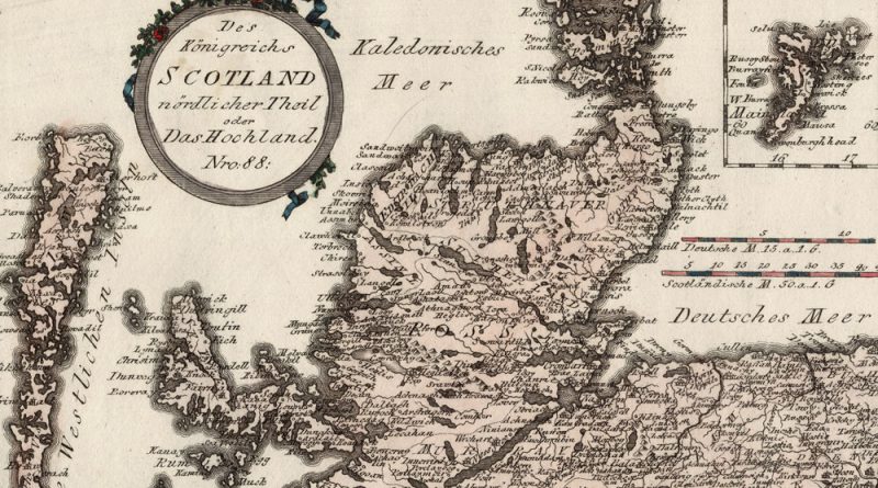
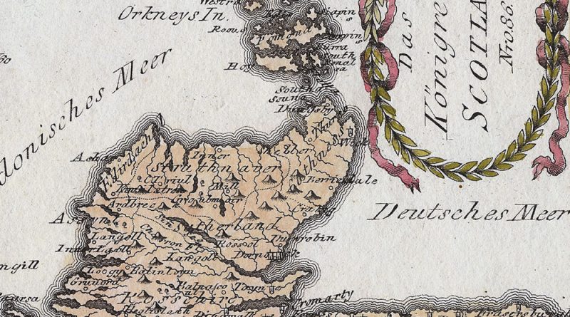
Des Koenigreichs Scotland nordlicher Theil oder Das Hochland Nro 88 Circa 1800 map of northern Scotland, the highlands, with wonderful
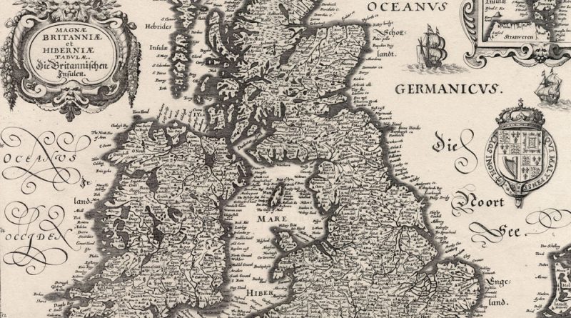
Magnae Britaniae et Hibernia – Magnae Britanniae et Hibernia 1630 Merian Map of British Isles Decorative map of the British
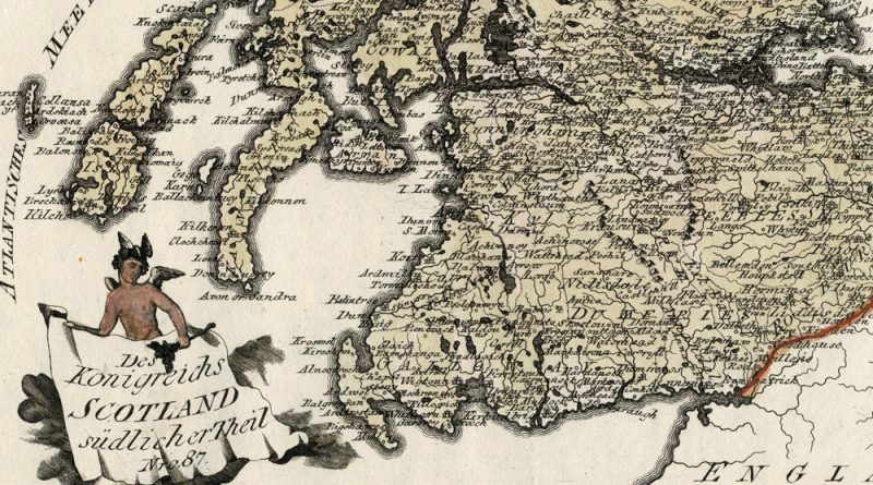
Des Koenigreichs Scotland suedlicher Theil Nro 87 Circa 1800 map of southern Scotland with wonderful detail and hand coloring.
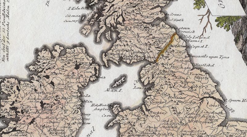
General Karte von Grossbritannien und Ireland Nro 78 Beautifully handcolored antique map by Joseph von Reilly showing the British Isles.
Das Koenigreich Scotland Nr 86 Circa 1800 map of Scotland with wonderful detail and hand coloring.